 Blue Dolphin
 Chapter 7 of 16
Marks: your beach, your anchorage, your vrša
A mark is a private saved point at sea: the sand patch where the anchor holds, the quiet beach for a swim stop, or the spot where you dropped your fish pot (vrša) and want to find it again next weekend, even when the float is nearly invisible in chop.
Drop a mark
Right where you are: tap the anchor button on the left of the chart, under the speaker. One tap, the mark lands at your boat’s position.
Somewhere else on the chart:
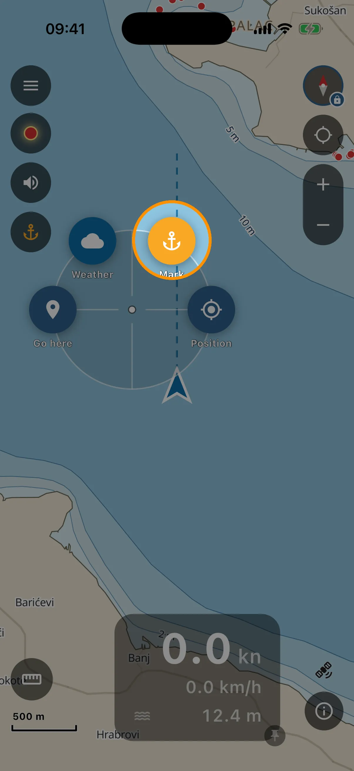
- Long-press the spot on the chart.
- Tap the orange anchor bubble, “Mark”.
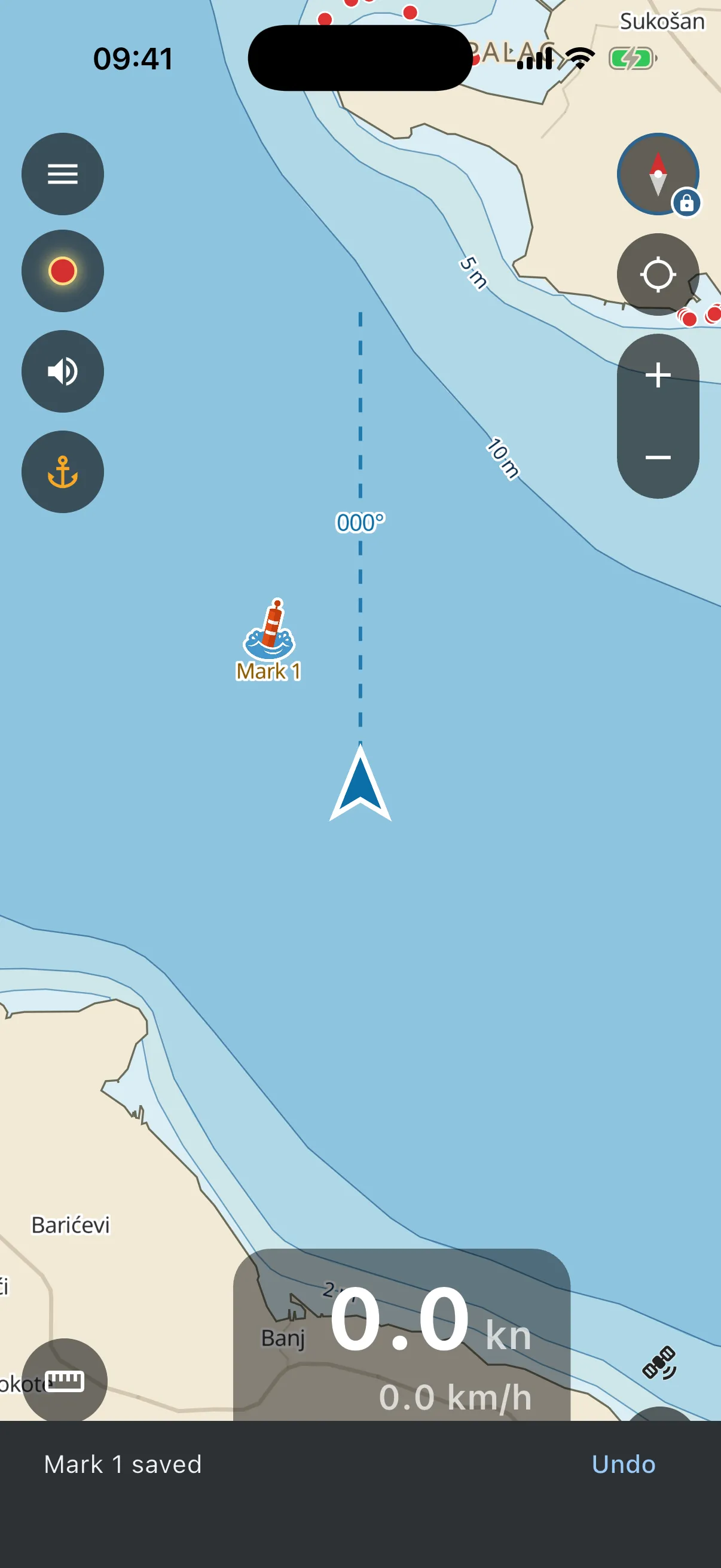
- Done. A small orange buoy appears and a note at the bottom says “Mark 1 saved”. Dropped it by mistake? Tap “Undo” on that note. No dialogs in your way. Name it when you feel like it.
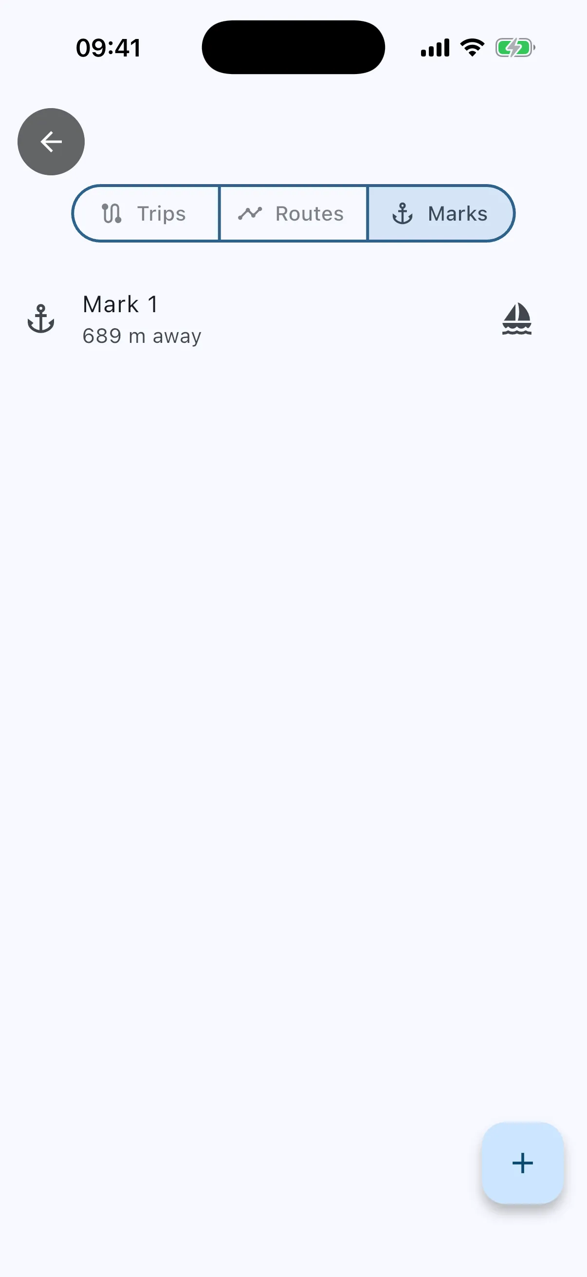
You can also add a mark from the Marks list (menu → Trips → Marks → the ”+” button). The app watches the GPS for a few seconds and averages it, so the mark lands where the boat really is, not where one noisy fix says.
Name it, hide it, delete it
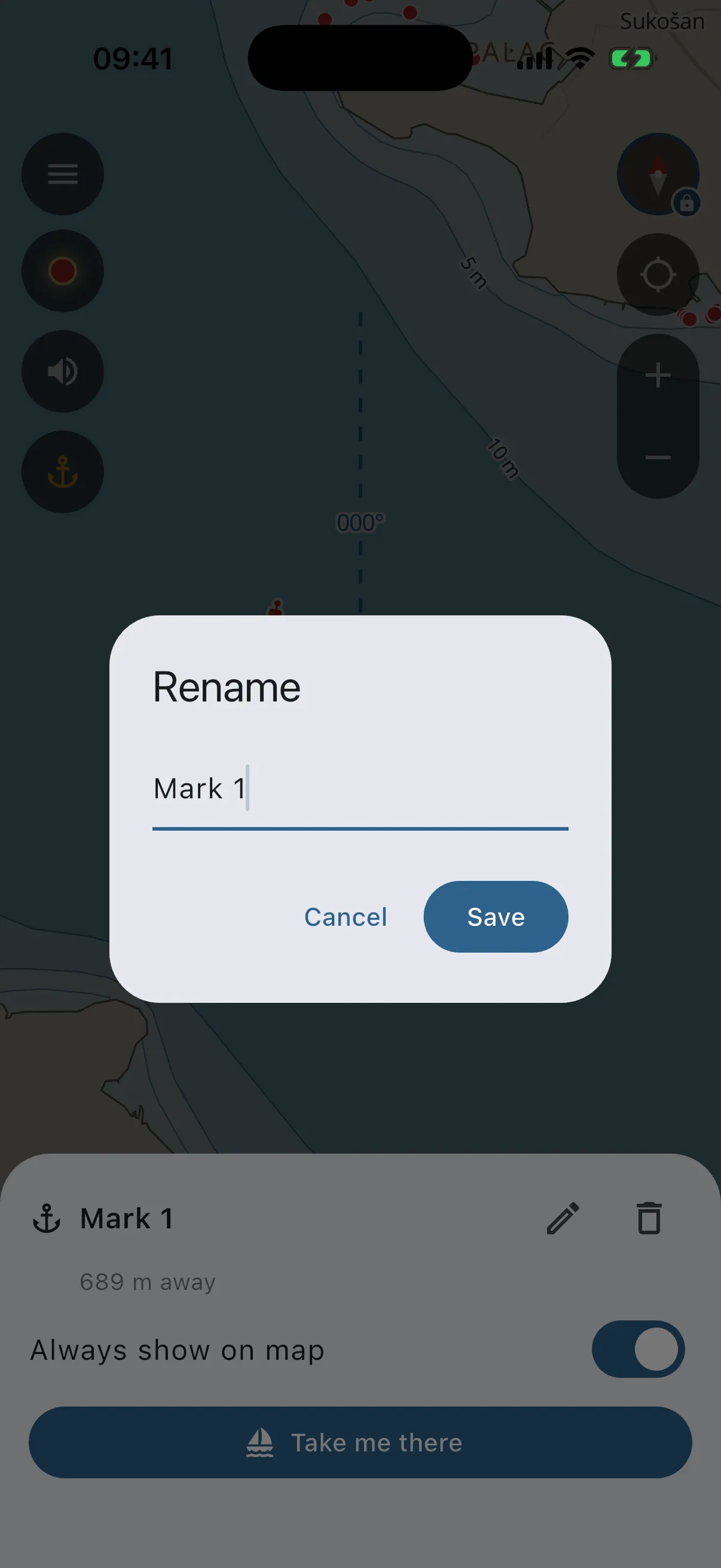
Tap the buoy on the chart and its card slides up: rename (pencil), delete (bin, asks first), and “Always show on map”. A mark you just dropped at the boat sits under the boat arrow, and tapping there opens the mark’s card. Hidden marks do not clutter the chart but still exist in the list, and they reappear while you navigate to them. Deleting the mark you are heading to also ends the guidance.
Find it again: “Take me there”
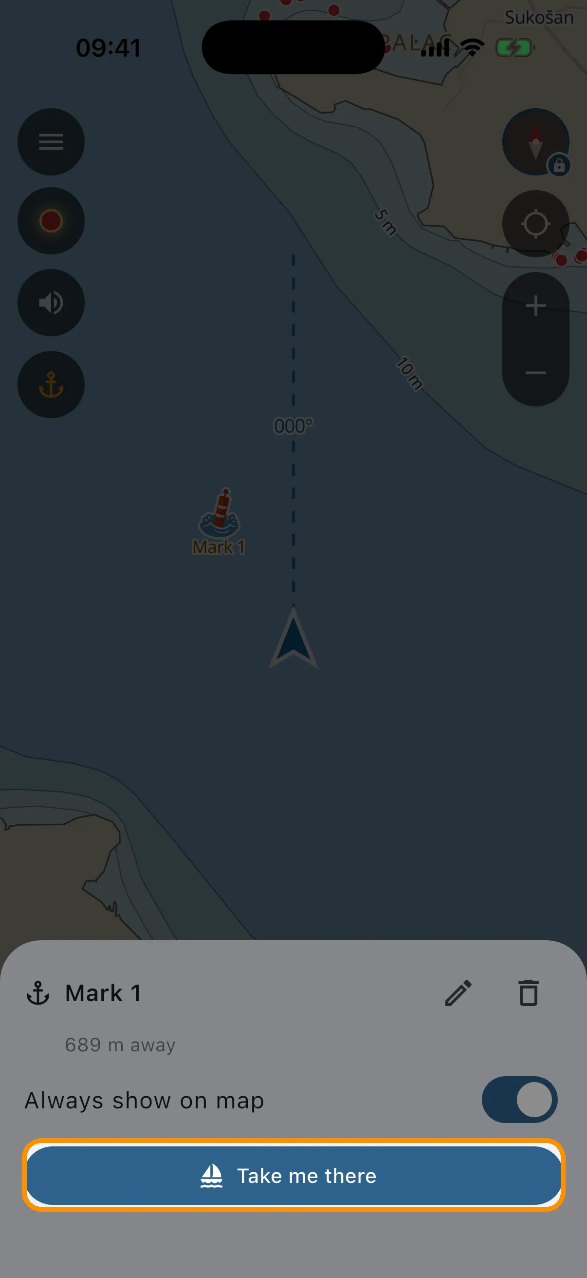
- Tap the buoy, then tap “Take me there”. If you are already following a route, the app asks before replacing it.
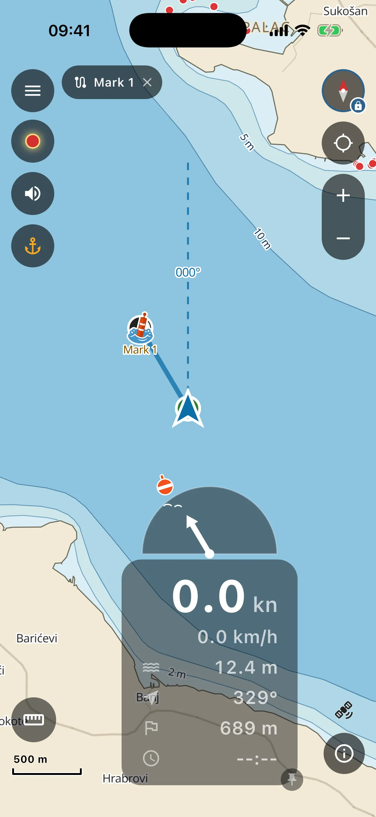
- The app computes a route from your position that avoids land and draws it on the chart (if it cannot find a safe one, it says so and draws a straight line, so check it with your own eyes). A chip with the mark’s name sits at the top of the screen, the big arrow points along your line toward the next point, and the buoy icon on the chart is the target itself.
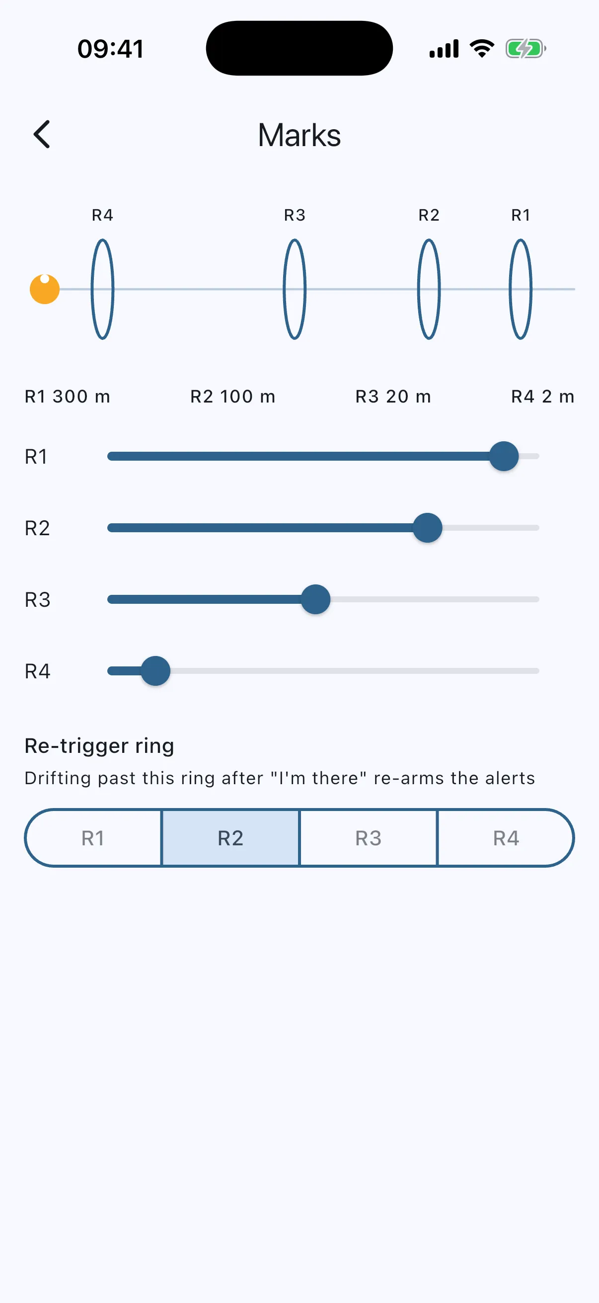
- Follow the arrow. As you close in, the app beeps at 300 m, 100 m and 20 m, each beep higher and faster, and vibrates. You can watch the water instead of the screen. The screen stays on while you are guided (Settings → “Keep screen on while navigating”), because a locked phone cannot beep.
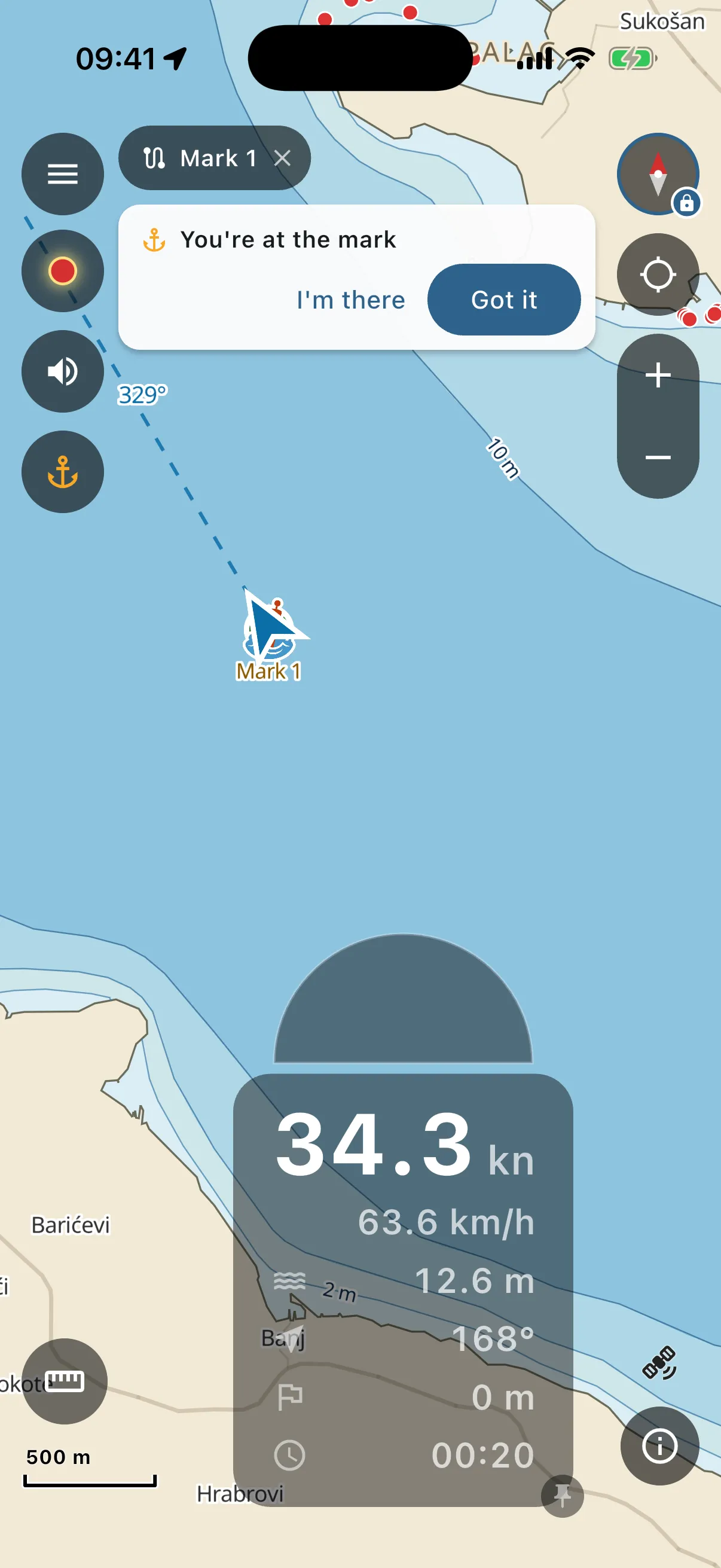
- At the mark, a card appears: “You’re at the mark”. Tap “Got it” and the guidance ends. If you drift off while fishing, “I’m there” silences the beeps but keeps the session. Drift far enough and the beeps re-arm, so you notice.
The approach distances are yours to tune in Settings → Marks: four rings on a to-scale diagram, each with its own slider.
Up to 10 marks are kept. The app never deletes one by itself. At the cap it asks you to remove one first.